Ramsey Cascades Trail
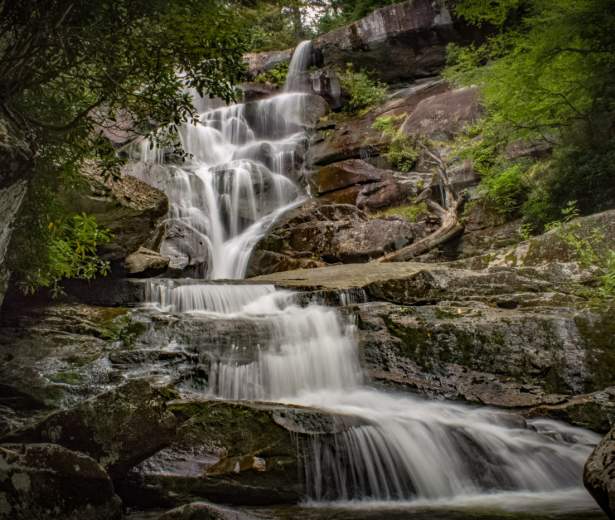
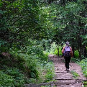
Ramsey Cascades is the highest waterfall accessible by trail in the park. Most of the water comes from the 6621′ Mt. Guyot, the second-highest mountain in the Great Smoky Mountains. Water drops 100 feet over rock outcroppings and collects in a small pool where numerous salamanders can be found. The trail to the waterfall gains over 2,000′ in elevation over its four-mile course and the eight-mile roundtrip hike is considered strenuous but well worth the effort. It takes between five and seven hours to hike to the waterfall and back. The trail follows rushing rivers and streams for much of its length. The last two miles pass through an old-growth cove of hardwood forest with large tulip trees, basswoods, silverbells, and yellow birches.
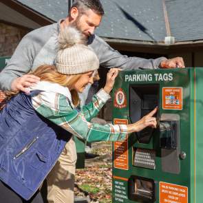
Please keep in mind bicycles and dogs are NOT allowed on this trail and a parking pass is required when parking longer than 15 minutes at the trailhead.
Trail Info:
Region: Greenbrier
Length: 7.9 miles
Rated: Hard
Elevation Gain: 2,185 ft
Route Type: Out & Back
Features:
Hiking, Waterfall, Forest, River, Views, Wildflowers, Wildlife, Rocky, No Dogs, Popular
Directions
Directions from Gatlinburg: Travel east on Hwy. 321 for approximately 5 miles and turn right onto Greenbrier Road. Continue south for approximately 3 miles and turn left at the fork in the road. The trailhead is at the end of the road.
Triail Map
Discover More in The Smokies
NATURE SPOTLIGHT
Vacationing In Bear Country? What To Know Before You Go
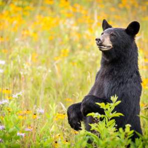
If you’re heading out to get away from it all, chances are good you’re heading into bear country. If you don’t live with bears at home (or even if you do), it’s good to get BearWise before you hit the road. Bears are never on vacation. Bears...
BearWise Vacation Tips
You are in bear country, so there’s a good chance you’ll see black bears here, even if you never go into the woods. Don’t leave food, trash or pet food outdoors when no one is around. A few seconds is all it takes for a hungry bear to swipe it. Feeding bears...
Bear Encounters: Ways To Avoid, How To Respond
There are lots of simple steps you can take to discourage bears from getting into your stuff and avoid bear encounters. Teaching bears to associate cars, trails, campsites and people with food doesn’t just put a damper on your outdoor fun. It also creates unnecessary risk...
Bear Safety Tips: Be Bearwise on Vacation
Here are some safety tips and ways you can be bear wise while staying in your Gatlinburg cabin or hotel. Enjoy bears from a distance and never approach them. Feeding bears (intentionally or unintentionally) trains them to approach homes and people for more food, and you may be...
