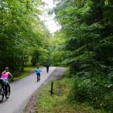
Gatlinburg Trail
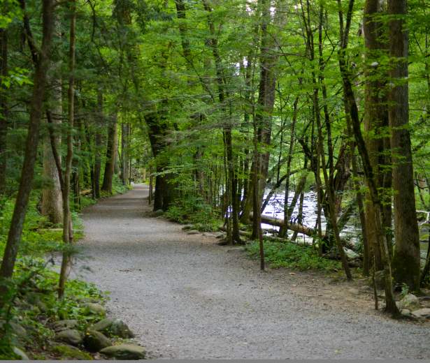
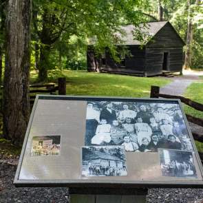
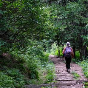
The Gatlinburg Trail is one of two walking paths on which visitors can walk dogs and bicycle. Pets and bicycles are prohibited on all other park trails. The trail travels 1.9 miles one-way from the Sugarlands Visitor Center to the outskirts of the city of Gatlinburg, TN. It is relatively flat and runs through the forest along side the West Prong of the Little Pigeon River. The trail offers beautiful views of the river, which at one point is crossed by a pedestrian foot bridge. Foundations and chimneys of several old homesites are visible along the trail. The Gatlinburg Trail is frequently used by joggers, walkers, and bicyclists. The Oconaluftee River Trail is the second walking path on which pets and bicycles are permitted.
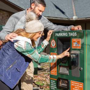
Please keep in mind a parking pass is required when parking longer than 15 minutes at the trailhead.
Trail Info:
Region: Sugarlands Visitor Center
Length: 1.9 miles (one-way)
Rated: Easy
Elevation Gain: 164 ft
Route Type: Out & Back or Point-to-Point
Features:
Hiking, Forest, River, Wildflowers, Wildlife, Popular, History, Dogs on Leash, Biking, Kid-Friendly
Directions
The Gatlinburg Trail in the Great Smoky Mountains begins from either Gatlinburg or the Sugarlands Visitor Center. The Gatlinburg trailhead is located near Light 10 at the edge of town, on the border of the national park. There are a couple of small parking areas along River Road. To start at Sugarlands Visitor Center, drive 1.9 miles from traffic light # 10 in Gatlinburg to the visitors center on the right. The trailhead is located behind the restrooms.
Preview Trail
Trail Map
PARK INFO
Discover More in The Smokies
NATURE SPOTLIGHT
5 Ways to Celebrate Father’s Day in Gatlinburg
It’s that time of the year to celebrate the man, the myth, the legend… and to...
Family Fun Picnic Spots in the Smokies
See original post. Above photo by Michele Sons If you spend much time at all in Great Smoky...
Biking in the Smokies
See Original post. Above photo by Carter Rutledge It can be hard to find a place to bike in...
Explore Gatlinburg’s Most Historic Places
Many Gatlinburg natives never tire of telling just how this mountain town came to be. From...
