Baskins Creek Trail
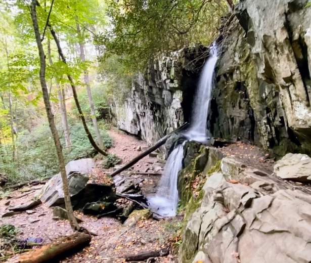
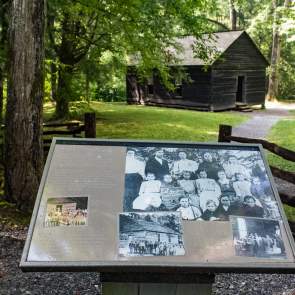
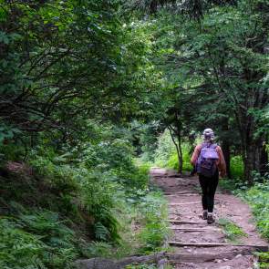
Baskins Creek Trail is a 2.7-mile uphill route through a forest that includes a secluded 2 tiered, 40 foot waterfall. This trail is a rarely traveled trail considering its proximity to other more popular trails like Rainbow Falls and the hike to Grotto Falls. This trail is located off Roaring Fork Motor Nature Trail on the left across from the Trillium Gap Trail. It travels through Northern red oaks, Eastern hemlocks and striped maples. At .2 miles you climb an easy pine ridge before descending steeply toward Falls Branch. At 1 mile you will cross Falls Branch and after heavy rains, expect your feet to get wet. At 1.4 miles there is an unmaintained side trail that leads to Baskins Creek Falls and although many travel to see the falls, keep in mind the trail is steep, slippery and can be dangerous. From here you can hike back the way you came, or continue along the trail for another 1.3 miles. Past the spur trail to the falls, the trail climbs steeply where you reach a difficult rock hop at around 1.6 miles. The climb out of the gulch is steep before a quick descent off the ridge where you will come to the Bales Cemetery and the trail ends at Roaring Fork Motor Nature Trail across from Grapeyard Ridge Trail.
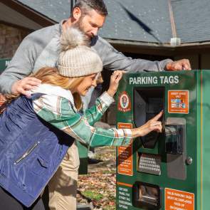
Please keep in mind bicycles and dogs are NOT allowed on this trail and a parking pass is required when parking longer than 15 minutes at the trailhead.
Trail Info:
Region: Roaring Fork Motor Nature Trail
Length: 2.7 miles (one-way)
Rated: Moderate
Elevation Gain: 953 ft
Route Type: Out & Back or Point-to-Point
Features:
Hiking, Waterfall, Forest, River, Wildflowers, Wildlife, Rocky
Directions
Starting from Light 8 in Gatlinburg, turn onto Historic Nature Trail / Airport Road. After driving 0.7 miles veer right onto Cherokee Orchard Road, upon which you'll enter into Great Smoky Mountain National Park. After driving another 2.2 miles you'll enter the one-way Cherokee Orchard Loop. Drive 0.9 miles on this loop before turning right onto the Roaring Fork Motor Nature Trail. The trailhead for the falls will be on your left after driving roughly 0.2 miles on this one-way loop road.
Preview Trail
Trail Map To Falls
Discover More in The Smokies
NATURE SPOTLIGHT
5 Ways to Celebrate Father’s Day in Gatlinburg
It’s that time of the year to celebrate the man, the myth, the legend… and to...
Family Fun Picnic Spots in the Smokies
See original post. Above photo by Michele Sons If you spend much time at all in Great Smoky...
Biking in the Smokies
See Original post. Above photo by Carter Rutledge It can be hard to find a place to bike in...
Explore Gatlinburg’s Most Historic Places
Many Gatlinburg natives never tire of telling just how this mountain town came to be. From...
